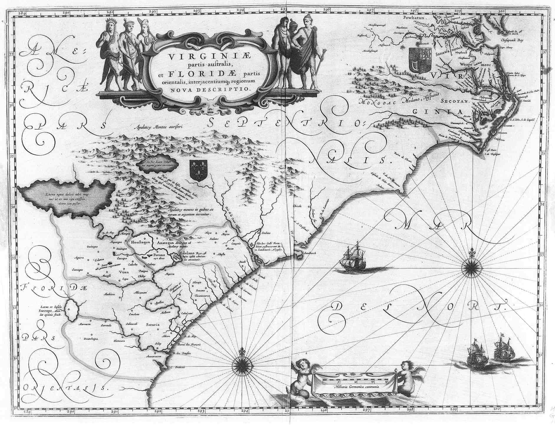
This map of Virginia , Florida , Georgia , and the Carolinas is written in Latin. It seems to fairly accurate when compared to current maps. There are a fair amount of physical land features shown on this map. There are hills, mountains, rivers, forests, and lakes. The British and Spanish territories are marked by the countries respective coat of arms. The title of the map, which is located in the “western” side of the map, has drawings of the native people. These provide an idea of what they look like; the place on the map where they are located also shows where they predominantly now exist, west of European territories and settlements.
This map shows the increasing control and influence Europeans have over the Eastern coast of what will become the United States
No comments:
Post a Comment